All Good Things Come to an End
Apologies that this almost final post of my Land's End to John O'Groats expedition is over two weeks late. I had hoped to write it up and post it from John O’Groats but unexpected visitors filling my time and lack of data signal conspired against me. Then it was a long trip home seeing more friends before arriving home on Sunday 17th July. Then I realised there was a lot I wanted to say. Then after 6 pages I decided it was going to be two blogs at the very least.
We finished the penultimate section of our Land's End to John O'Groats adventure on a high when Sandra took part in the Kessock Narrows swimming event at Inverness. With this excitement behind us I started out on the last path, the new John O’Groats Trail (opened about 2017) which offers an alternative to both the midge infested west highland and traffic infested A9 routes. I had some mixed feelings about this trail, as the last path on my Land's End to John O'Groats journey it would take me all the way to the finish at John O’Groats which was tremendously exciting but part of me didn’t want the adventure to stop.
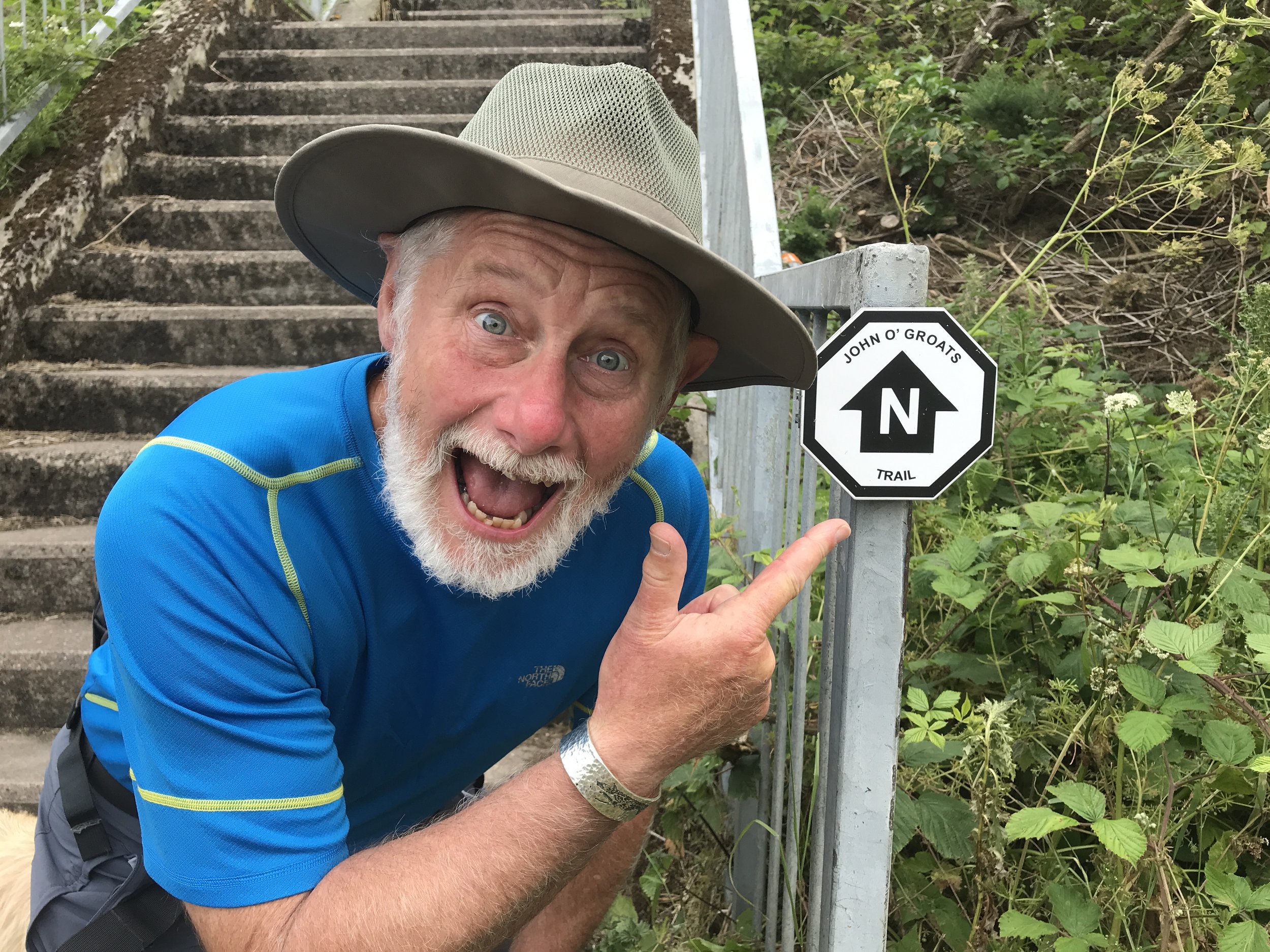
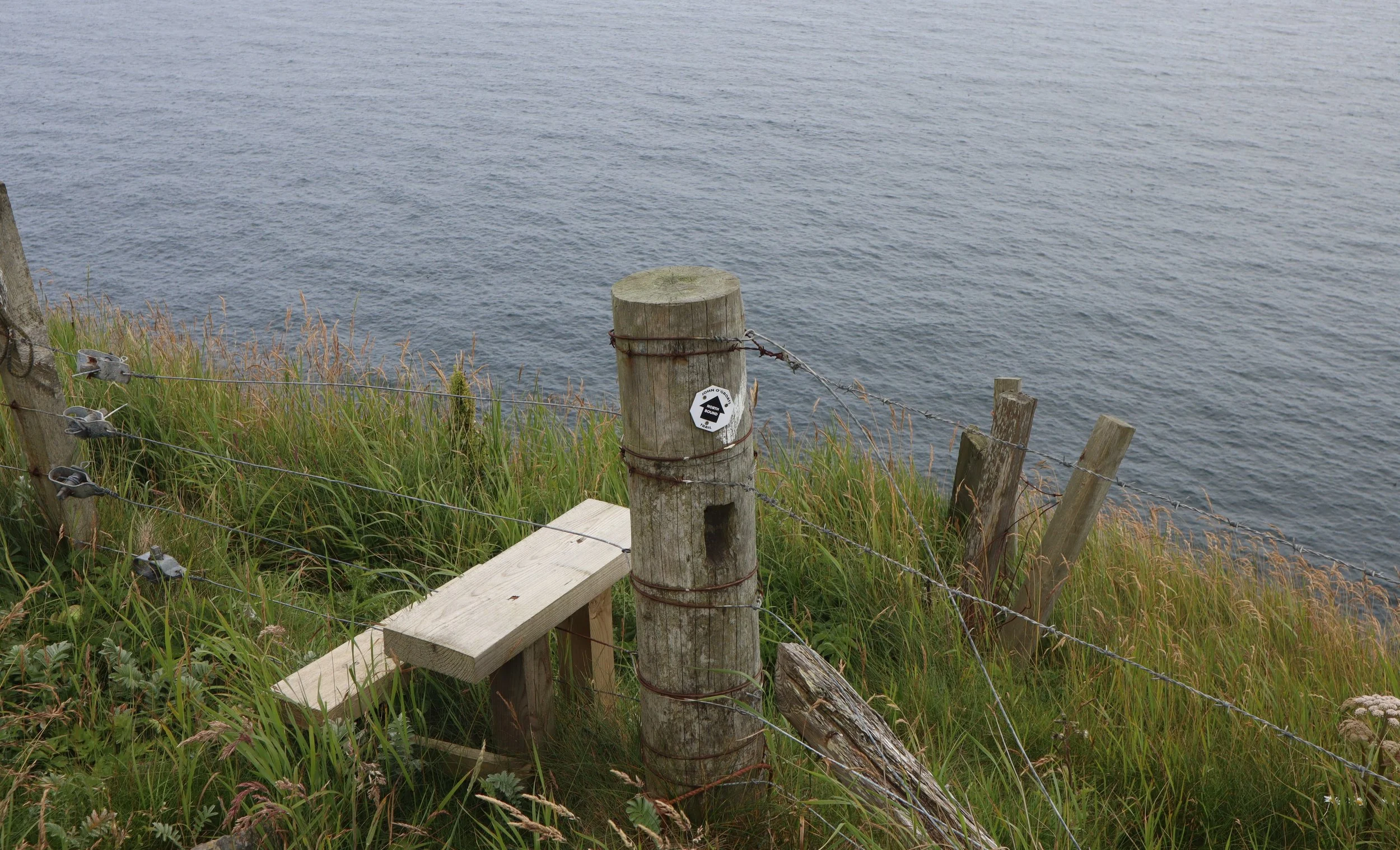
First of the John O’Groats trail markers, something to get excited about.
At this point the whole Land's End to John O'Groats expedition stopped for a brief but much needed holiday; Sandra and Carne hopped on the Inverness to London sleeper, at the start of an exciting adventure to attend Hattie White’s wedding in Majorca while Duncan, Arthur and I sloped off to the Kinlochewe on the west coast for a few days’ rest.
But all good things come to an end and the John O’Groats Trail was the route to the end, so off we went. The path starts in the heart of Inverness, climbs over the Black Isle (neither black or an island) then heads up to Dornoch on forest tracks and quiet ‘B’ roads except where it briefly joins the A9 to use the new road bridges to cross the three eat firths which cut deep into the east coast.
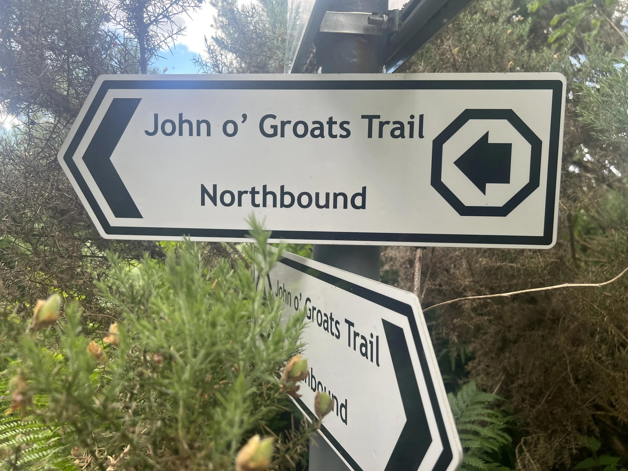
Some of the John O’Groats Trail signs include north and which south, just in case you forget which way you’re walking.
It’s worth a brief digression to consider the geology and geography of the far north east of Scotland. The predominant rock is old red sandstone; this stuff has kept cropping up (or out cropping) throughout my walk, first in Devon, then across the midlands, southern Scotland and finally almost all the way from Inverness to John O’Groats, it also present east of Inverness to beyond Elgin and carries on up to the Orkneys with a final outcrop in the Shetland Isles. In common with the red sandstone areas further south the rock weathers to rich, fertile red/brown soils which are a stark contrast to the poor acidic soils further west.
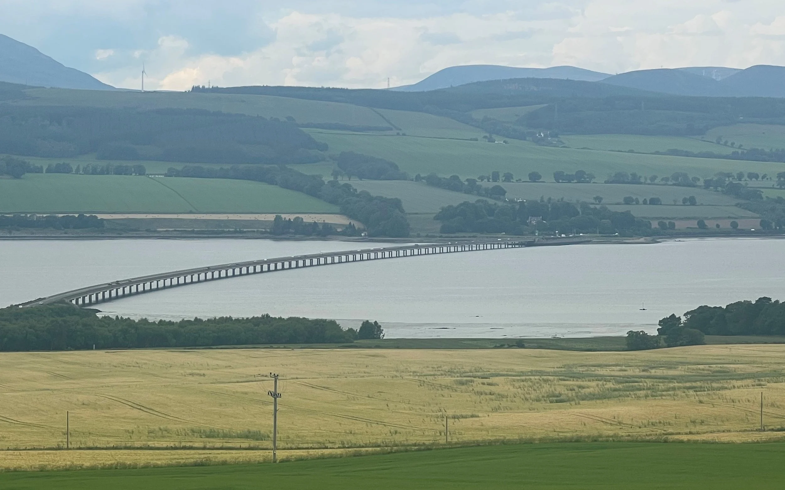
While the soils and rich farmland is common to the whole of this region there are major differences in the walking north and the south of this coast. The south, from Inverness to Dornoch is rolling farmland split by three great firths, huge sea lochs that cut deep into the land, from south to north there’s the Beauly/Moray, Cromarty and finally Dornoch Firths. Not so long ago these formed almost impassable barriers northwards and roads took huge detours to find crossings, these days modern bridges span all three, long detours aren’t necessary and the walking is fast and easy.
The new A9 bridge over the Dornoch Firth
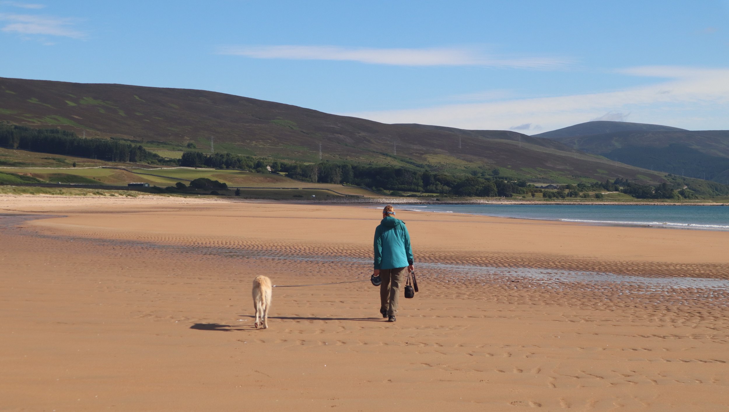
From Dornoch to Helmsdale, some 25 miles, huge sandy beaches predominate and the walking is gloriously open and exciting along the sea shore, although up here the sea is on the right hand side, a slightly unnerving constant after spending so long in the south west with the sea on my left.
Sandra and Arthur on one of the huge beaches north of Dornoch
North of the beaches, at Helmsdale, the sandstone rises several hundred feet into big, rolling hills and on the coast cliffs predominate all the way to John O’Groats and beyond into the Orkneys. The whole thing is very reminiscent of the coast of Cornwall and Devon where cliffs are bounded by deep valleys and long beaches with small fishing villages tucked away from the weather in sheltered nooks and crannies.
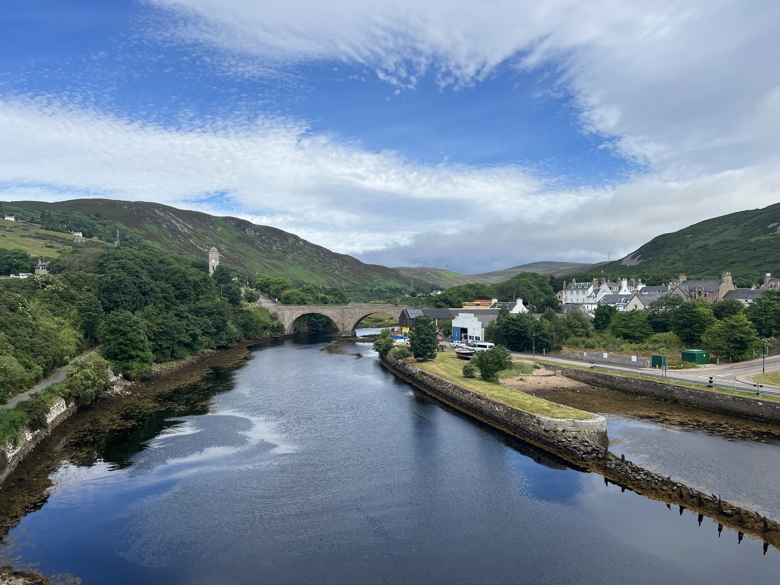
Helmsdale, one of the many fishing villages tucked into the valleys along this coast.
There are however two unique aspects to this Scottish north east coast which are in stark contrast to the English south west coast, the first physical and the second cultural.
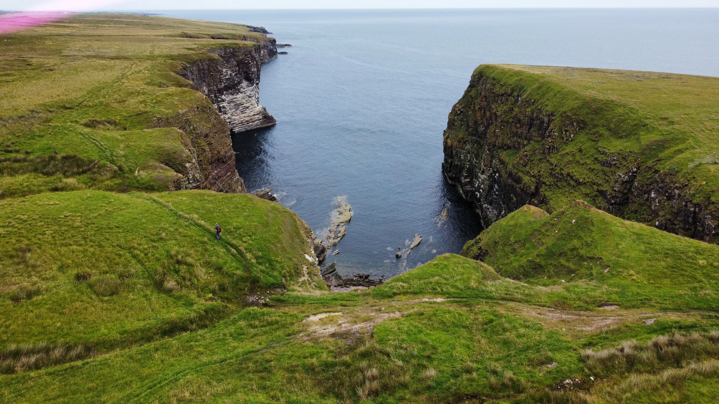
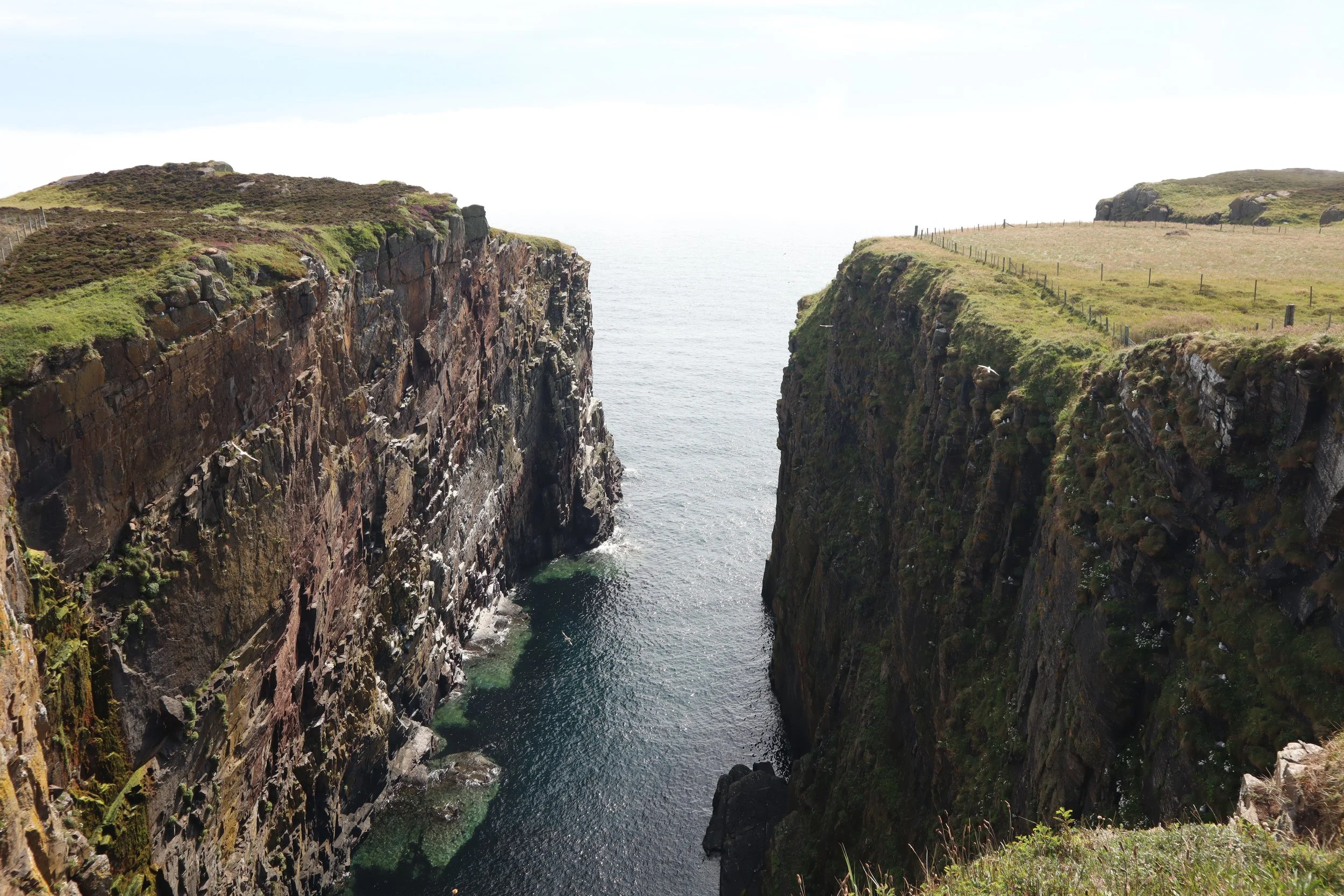
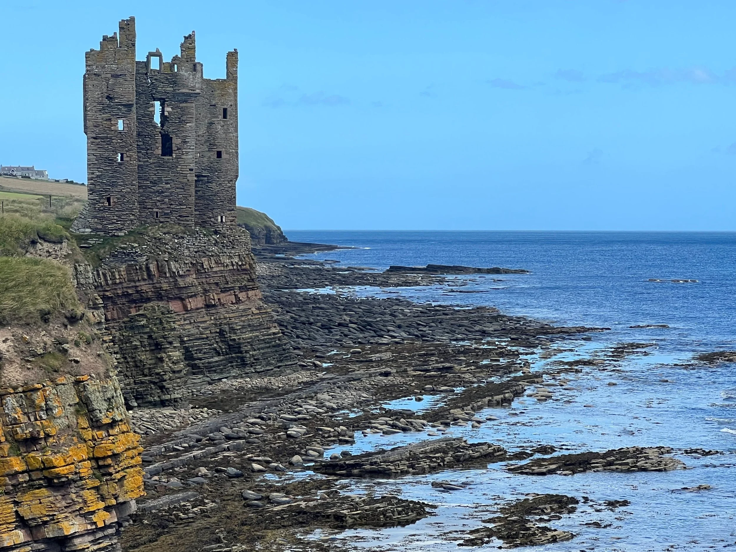
Physically the cliffs are frequently cut by a feature almost unique to this coast and the Orkney Islands, geo’s; the name comes from the old norse gja and means a narrow inlet or gully which perfectly describes the long, very narrow chasms cut into the cliff all along the coast.
One of the many geos that are such a feature of this coast.
The second, cultural difference is the complete absence of footpaths and other rights of way. Look at an OS map of Cornwall, Devon or indeed most of England and Wales and the farms, hamlets, villages and towns are linked by thousands of miles of foot paths, most are old, or even ancient routes pressed into the earth by people’s feet over hundreds or thousands of years; they’re clearly marked on maps and on the ground are signposted to a greater or lesser extent. In Sutherland and Caithness (and to some extent the rest of Scotland) this intricate network of paths does not exist. I’m not sure why but suspect that the infamous highland clearances of the 18th and 19th centuries could be responsible. After people were cleared off the land to make way for sheep and shooting the network of paths which linked crofts and communities would have rapidly fallen into disuse and disappeared.
The presence of geo’s and lack of footpaths has had a profound effect on this section of the John O’Groats Trail.
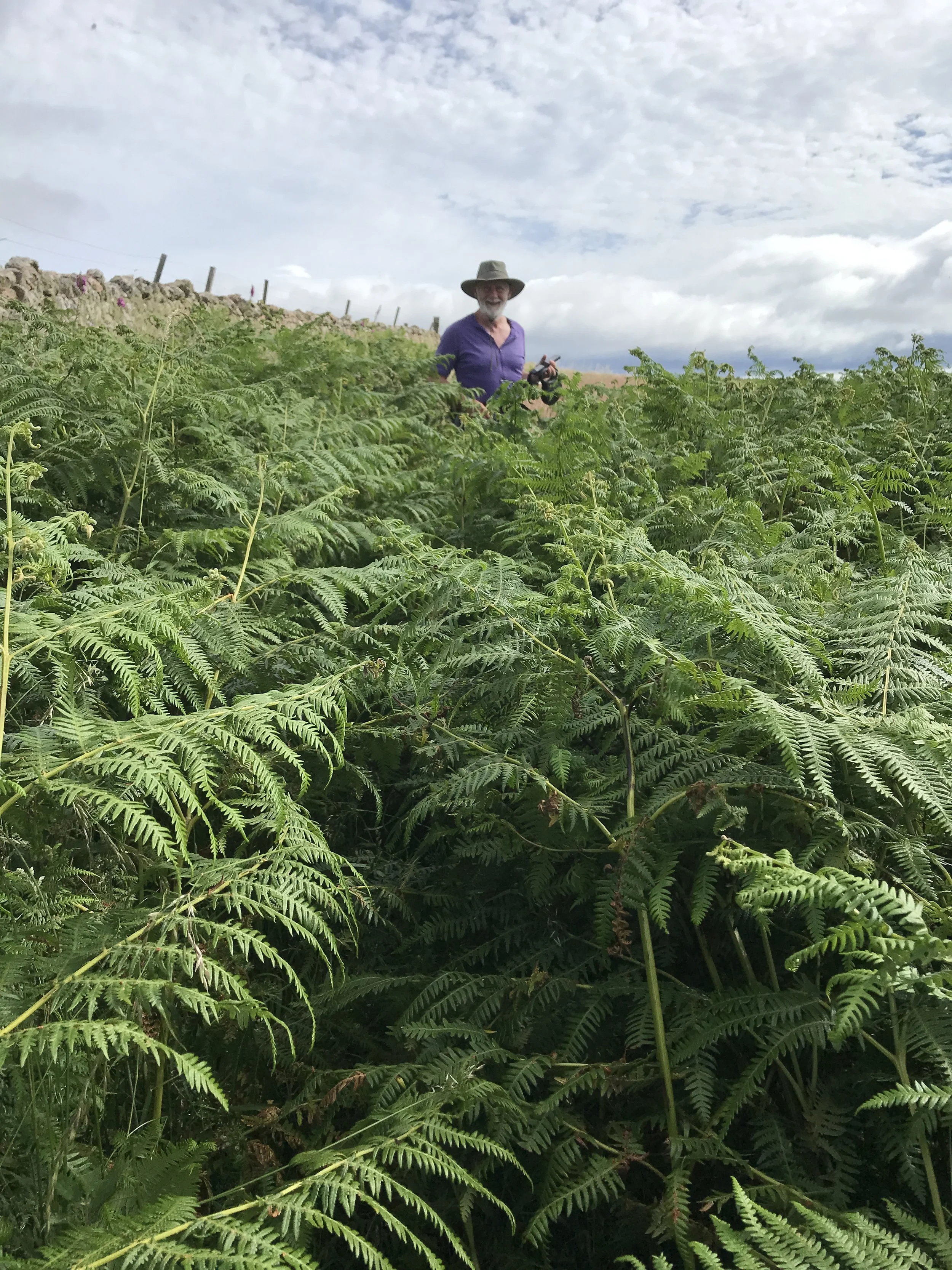
I’d been warned that north of Helmsdale the John O’Groats Trail was hard and even the trail’s official website noting that things were difficult with much of the fifty miles or so to Wick graded as amber, indicating that it was rough walking, often close to the cliff edge with poor way making/signage, occasional barbed wire fences without stiles and a lot of waist or chest high bracken, gorse, nettles thistles and grass.
But I’d knocked off the South West Coast Path without too much trouble and had then walked all the way to Helmsdale via, among other paths The Pennine Way; I was also dammed if I was going to end my Land's End to John O'Groats walk by plodding along the A9 and A99. As a talisman I had the official trail map albeit with quite a lot of the route marked as having “no visible path”, a phrase which is the modern equivalent of “here be dragons” but after twelve hundred miles how bad could it be?
The answer was, surprisingly, infuriatingly, awful.
The path seems to have had little traffic and a route needs footfall to beat it from a cartographer’s fantasy into a footpath but three related problems conspire to reduce prospective footfall and make life unpleasant.
Probably the right path, although Arthur, who’s by my side wasn’t so sure
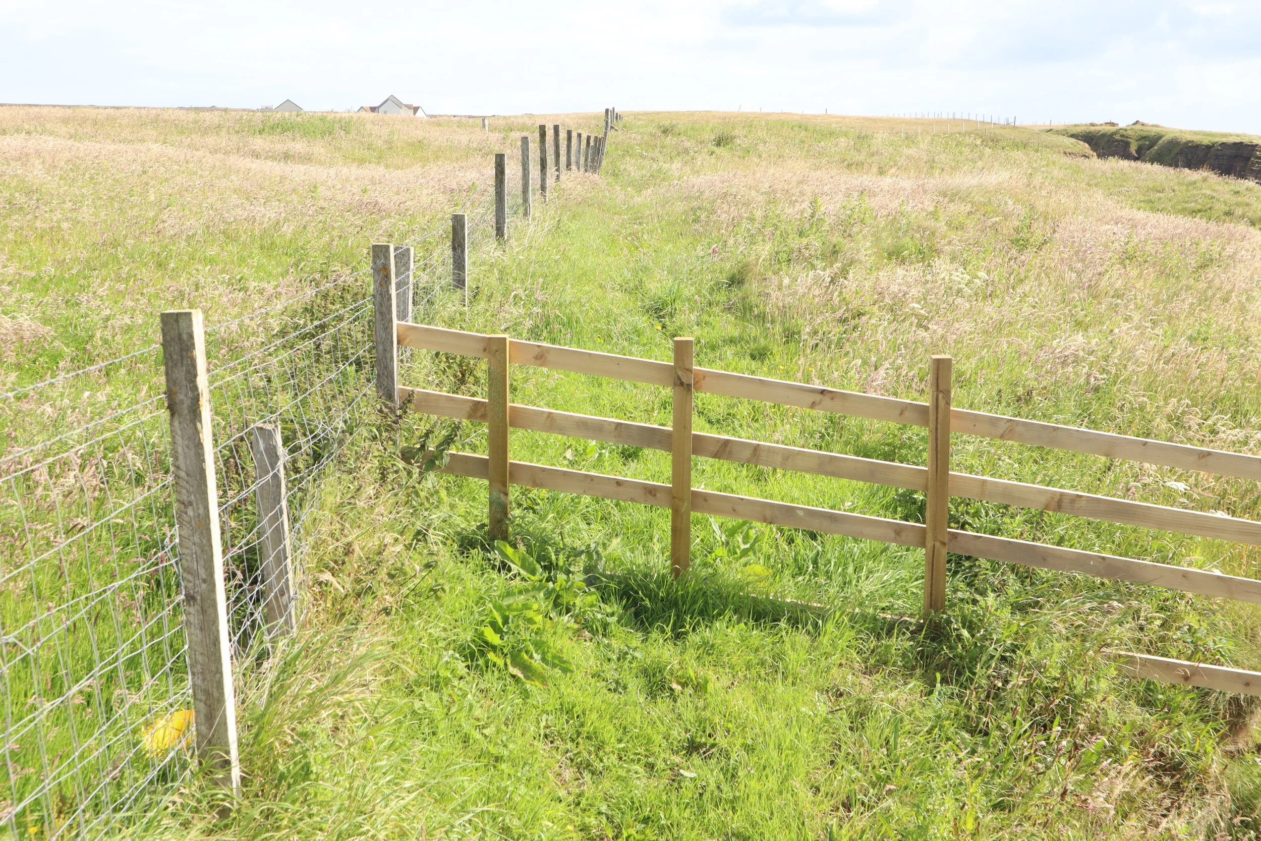
Firstly, the local farmers have gone out of their way to make life as difficult and potentially dangerous as possible for walkers. Mile after mile, farm after farm the trail was pushed to the very edge of the cliffs by new barbed wire fences placed to cause the maximum difficulty to pedestrians. Much is made in Scotland of the right to roam legislation, but land owners seem to have a conflicting right to erect fences and other obstacles as they desire and it’s a right they exercise with gusto north of Helmsdale.
Not for the faint hearted but at least there’s a stile to get over the barbed wire.
Secondly, with the path hemmed in by the new fences and pushed as close as physically possible to the cliff edge it’s forced to follow every twist and turn of the coast, including every inch of every geo.
Spectacular but hard work, another geo, the path runs on the cliff side of the fence.
Thirdly, with no tradition of public access and no paths crisscrossing the land there were no alternatives to the difficult coast path except the main roads and that I wasn’t prepared to do.
I know it’s the path because there’s a sign just behind; a farmer enjoying his right to erect a new fence without providing a stile.
So for three days I waded through nettles, thistles, bracken and gorse along a narrow path sandwiched between man eating barbed wire and man swallowing cliffs; at every geo it was half a mile inland, round its apex, invariably marked by at least one new multi strand fence, then another half mile seawards to end up sweaty, scratched and infuriated only a hundred yards further north than where I’d been half an hour before. And all without any way markers, despite having the official map, the Ordnance Survey set for the whole of north east Scotland and a GPS system I was never sure where the bloody path went; I’m fairly certain it didn’t officially cross the eight foot high farm gate (chained shut) or the nine foot tall fence (newly erected) I climbed over, but up and over them I went and slow northerly progress was made. Finally, after three days of highly scenic purgatory, five miles south of Wick things improved and I walked into the campsite in high spirits.
I’ve since spoken to a number of people about this section and the consensus is that the farmers don’t want the path so are trying to make everything as difficult as possible. This is a real shame as this part of the Scottish coast is one of the most beautiful and spectacular I’ve seen and the cliff scenery was one of the highlights of the whole trip. In fact it’s so good that the path is more than worth walking in its own right and I met a few people doing just that. The good news is that most people think that as more visitors use the path and the local economy sees the benefits the path brings, opinion will change and things will improve.
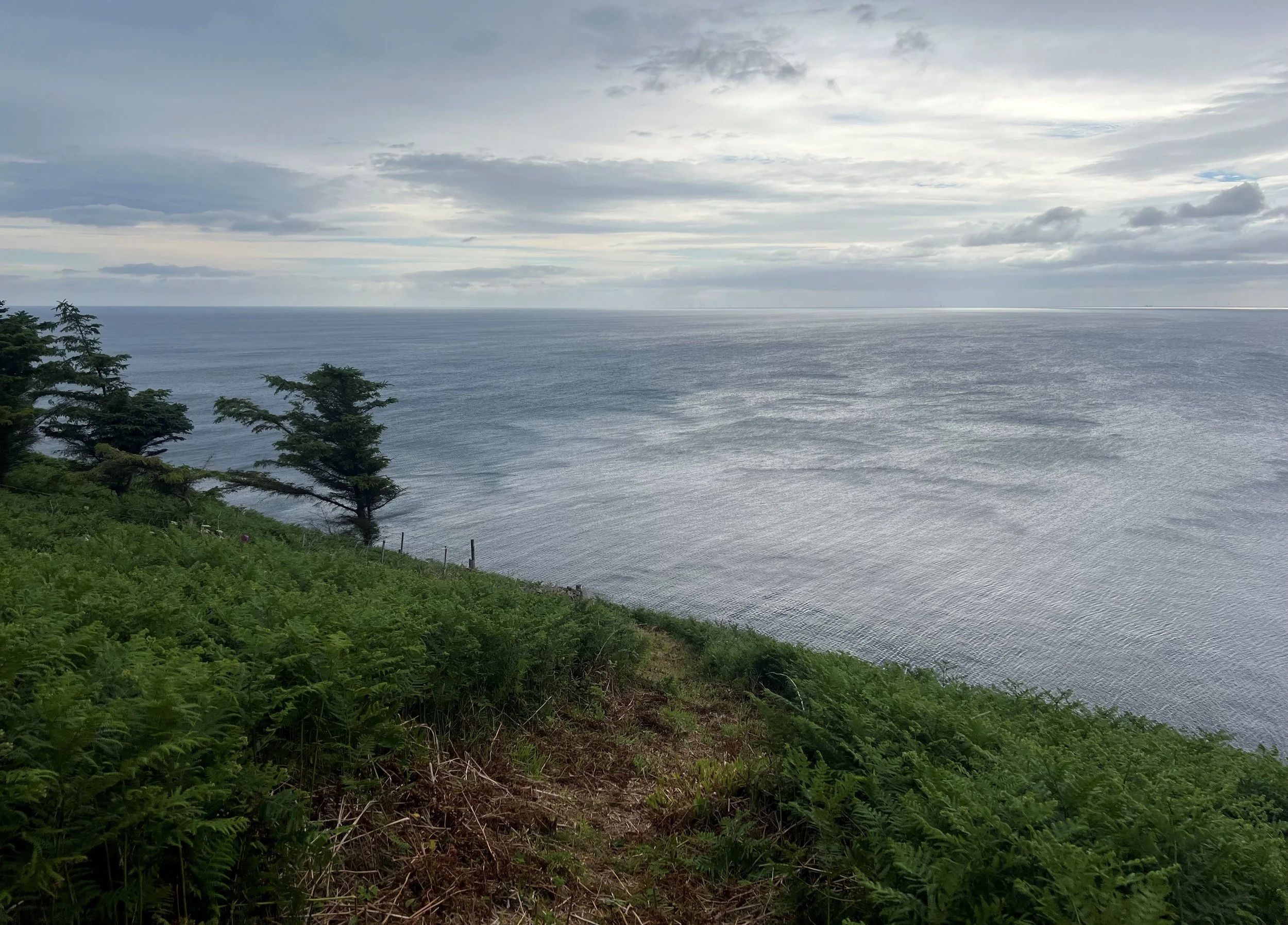
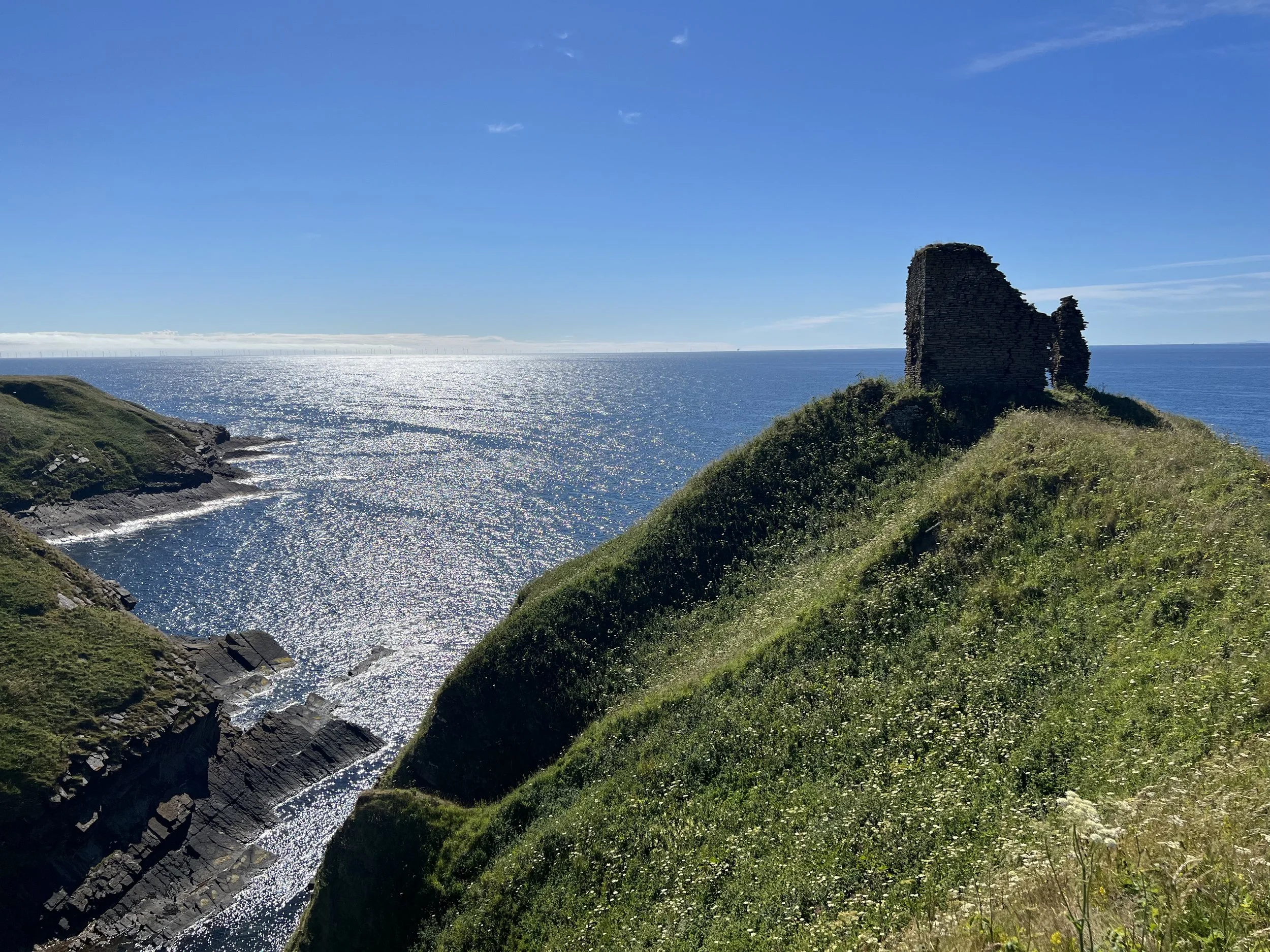
Just a few of the stunning views from the coast path north of Helmsdale, well worth the effort to see them
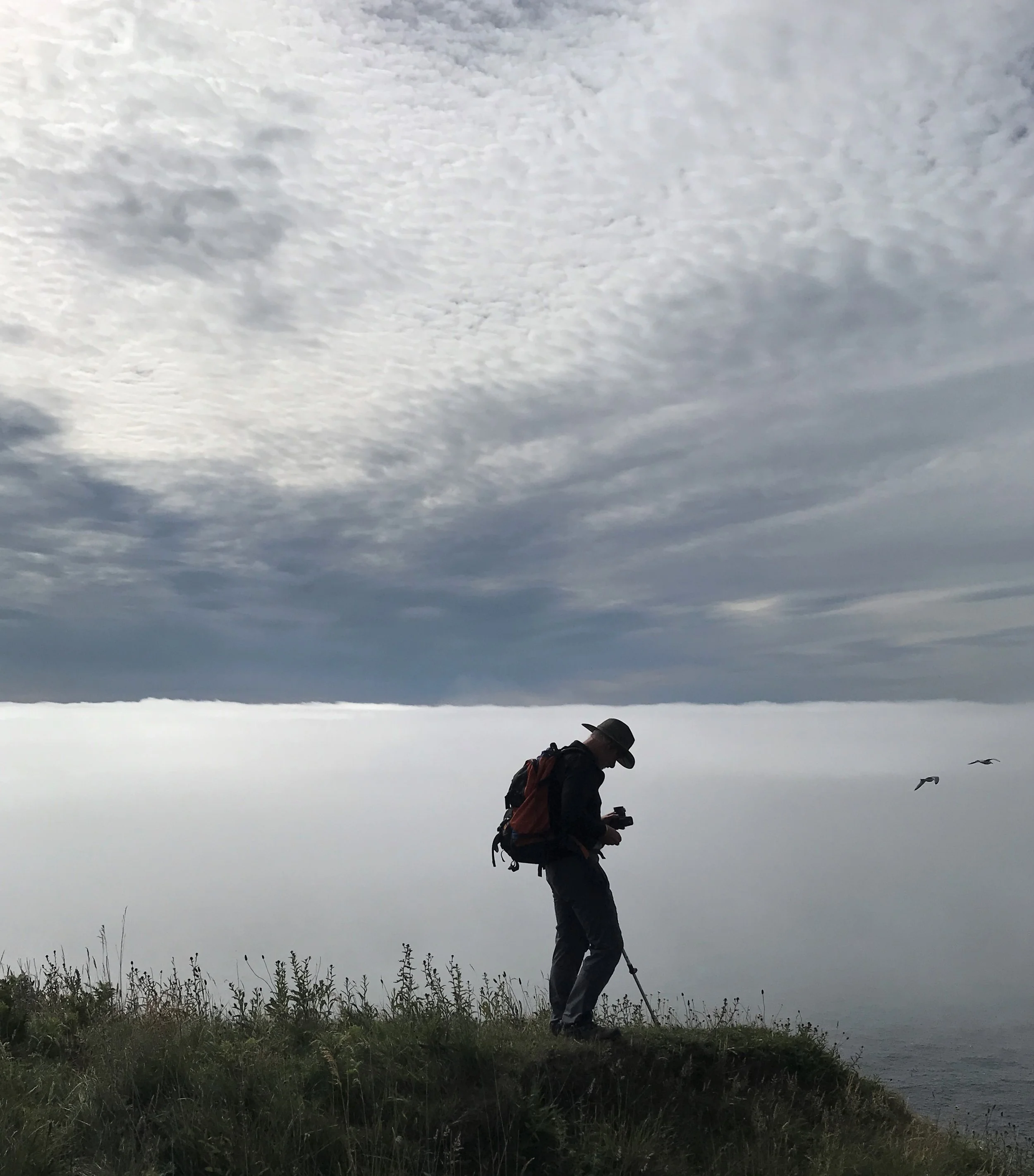
My favourite picture from the trip, a cloud inversion off the coast at Waligoe
When I started out on my Land's End to John O'Groats trip I was very reticent about telling people I was attempting it; after 500 miles I didn’t mind admitting what I was doing but at Wick the campsite warden knew what I was about before I could tell him and pointed out another three other people who were also at the end of their journeys. It’s always nice to talk to other walkers we all enjoyed a couple of hours chat over a beer or two. The other walkers were Kim, walking with support from her husband Kevin and Patrick, aged 72 and walking it solo for the ninth time, although he did admit to getting the steam train from Minehead to Bridgwater as he knew that bit was boring.
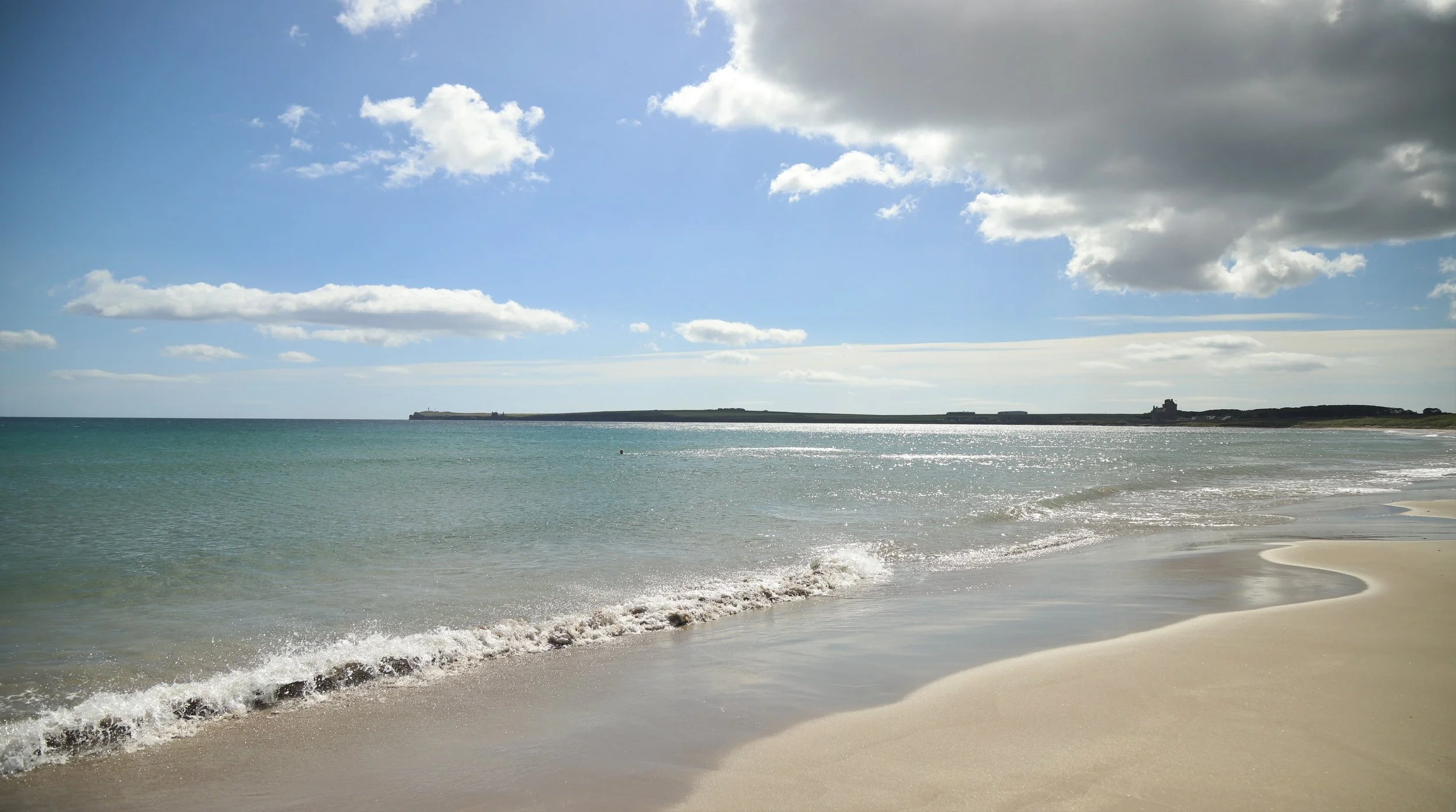
I left Wick with only two days walking left, the first was a lovely stroll to a tiny hamlet called Nybster, much of the path ran along the majestic Sinclair’s Bay, the sun was hot, sand pale gold, the water blue, crystal clear and freezing cold so Sandra went for a swim!
Sandra enjoying Sinclair’s Bay, can you spot her?
The night before the final day’s walking was spent at Dunnett Head on the north coast and here I had the first of two surprise visitors, Martyn Burgess drove all the way from Lancaster, 500 miles, just to cheer me over the finish line, although he declined to carry my rucksack.
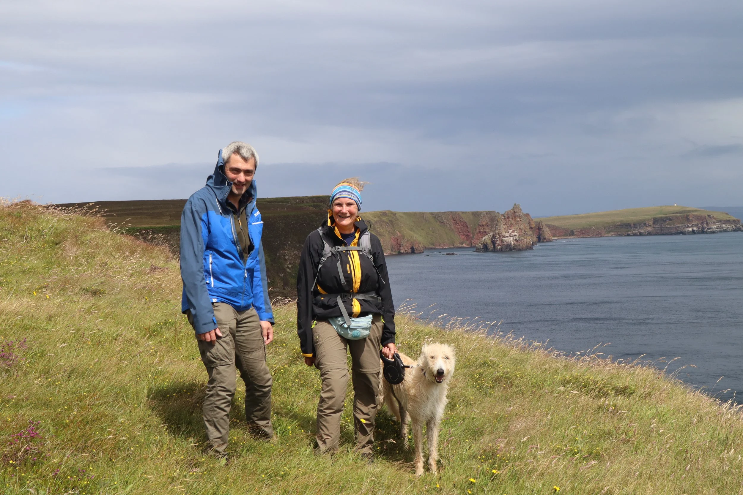
Sandra, Martyn and Arthur, walking partners on the last leg.
Sandra, Martyn, Arthur and I approaching John O’Groats
The second was Carne Burke who’d driven the 275 miles from Edinburgh to capture our finish on film and help us celebrate.
I’d been expecting my last day of walking and my arrival at John O’Groats to be a quiet affair but with Martyn and Carne, Sandra and Arthur this wasn’t the case; Martyn and Sandra walked the last eight miles or so with me and Carne formed a most exuberant welcoming committee.
Carne, who just kept turning up.
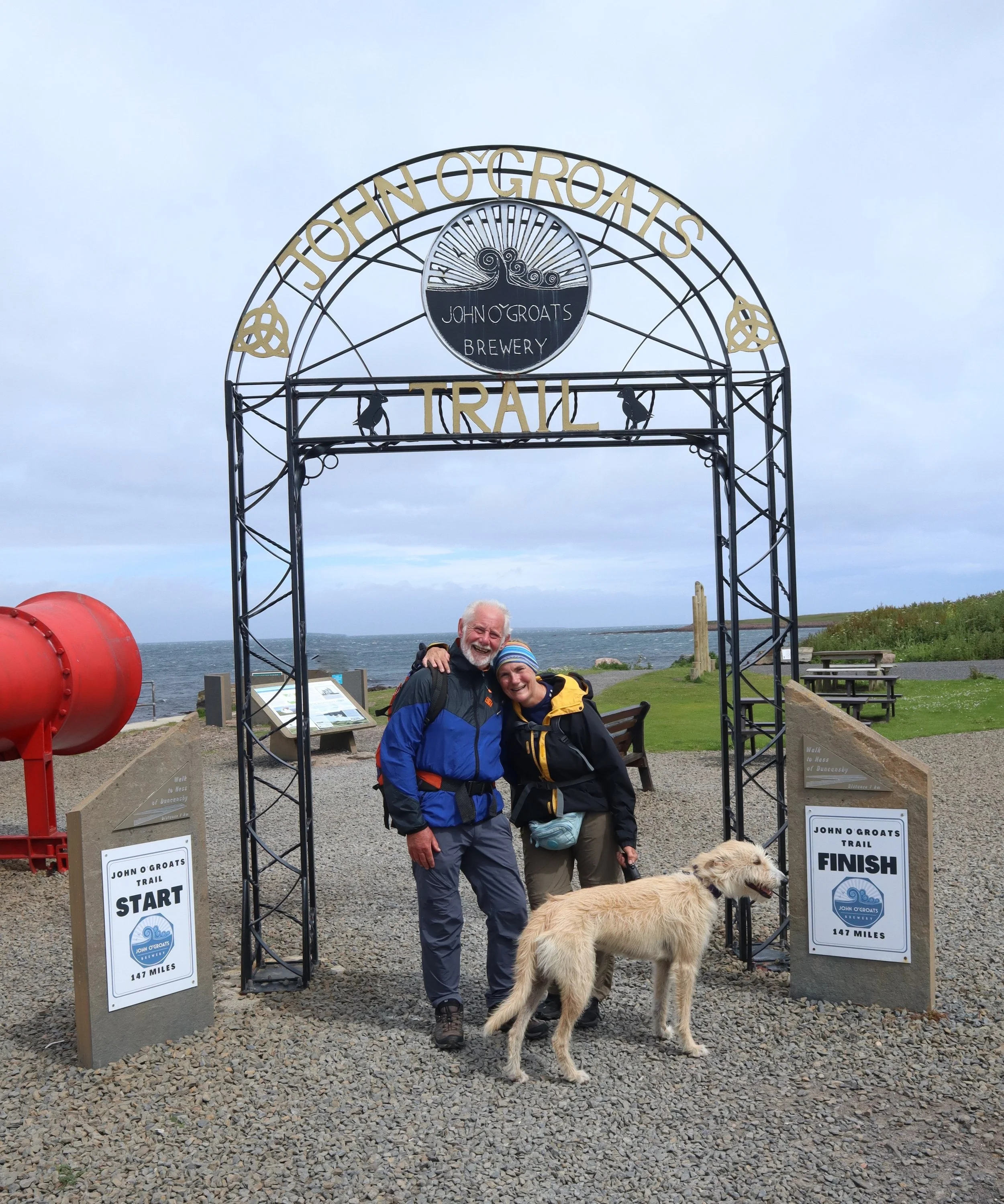
The John O’Groats Trail ends at a particularly fine celebratory arch, the John O’Groats official sign is a few yards away.
End of the John O’Groats Trail but not quite the end of the great adventure
After a very tasty miniature bottle of champagne and pictures at the official John O’Groats sign (free unlike the one at Land’s End) it was into the John O’Groats brewery and bar for a very welcome pint of John O’Groats best bitter to mark the end of an epic adventure.
And that was that, I’d done it, walked from Lands End to John O’Groats like I promised myself I would over 40 years before. It had been a bit of an epic; I’d taken 120 days to walk 1256 miles, much longer in both time and distance than many Land's End to John O'Groats walks but who cares, I’d done something I’d always dreamed of doing and enjoyed all of it, although some of the rain and wind I had on the Pennine Way is much easier to enjoy in hindsight.
That’s it, the end, Land’s End to John O’Groats; been there, done that and a little tipple at the end.
Final Totals:- 1,256 Miles 127,477 Feet of Ascent (4½ Mt Everests), 2,794,822 Paces, 557 Hours of Walking.
To be continued…
