WEEK 12 - Northumberland and the Borders
The week 12 blog is a week late due to the traditional intermittent 4G signal in many areas and not having a rest day for nearly two weeks (I try and get the blog posted when I’m having a rest day).
Land’s End to John O’Groats is unusual among long distance walks in that while it has obvious start and end points, there is no official route, as long as you start at one point and end up at the other, you’ve done it. This lack of definition gives the individual a great deal of flexibility, so far I’ve met half a dozen fellow “LEJOGers” while our routes have much in common, no two are the same.
When planning my route I wanted to walk as much as possible off road, this and a desire to see as much of the country as possible has produced a somewhat meandering route back and forth across England, Wales, England and now Scotland, enjoying a multiplicity of landscapes.
Last view of Hadrian’s Wall, actually it’s in the woods above Craig Lough
Week Twelve was a wonderful experience, despite heavy rain early on, I’ve walked roughly northwest wards from Housesteads Fort on Hadrian’s Wall towards Linlithgow, west of Edinburgh. The route took me through the borders, land of my fathers, although they’re from the Alnwick area; historically this was a buffer zone between the kingdoms of England and Scotland and home to the infamous Border Reivers.
It is also, occasionally, referred to as “The Debateable Land”, I’ve seen various explanations as to how this name came into use but my favourite reflects the fact that as a buffer zone the natives would claim the land to be in either Scotland or England depending on which crown appointed official they were answering to and if asked outright if they were in England or Scotland the reply was invariably, “Well now, that’s debateable”.
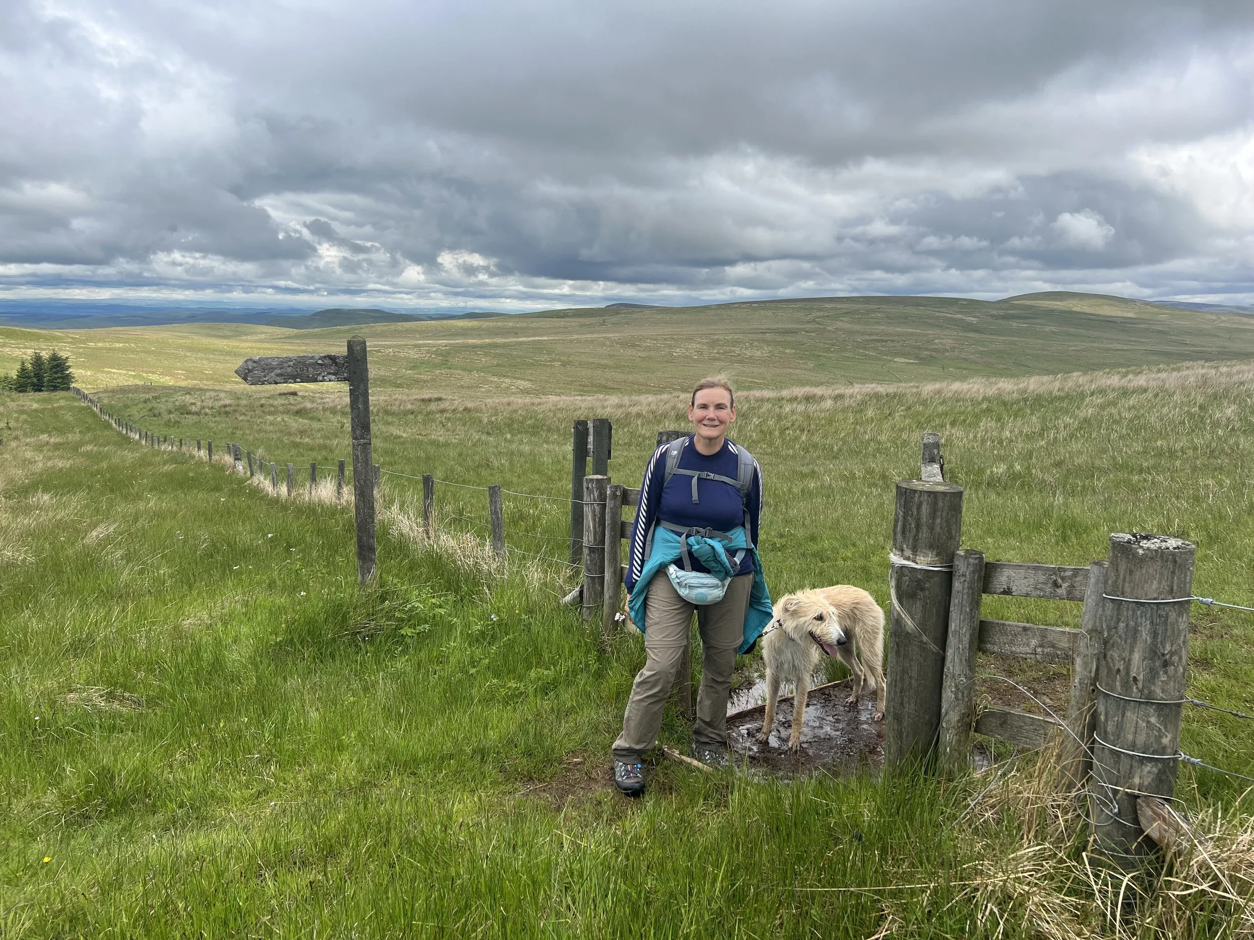
Sandra debating whether to stand in England (right foot), or Scotland (Left foot). Arthur who’s not too good at international politics is just standing in the mud.
These days a lot of The Debatable Land lies within the Northumberland National Park, it’s an area of rough grazing (hence the traditional reiver occupation of cattle rustling), heather moorland and on the tops peat bog. Since the 1930’s much of the land has been given over to commercial pine forest, with half a dozen big tracts lumped together under the romantic title of “The Border Forest”, possibly to make it sound more interesting than it actually is, although the forest tracks do provide easy and fast, easy if uninteresting, walking.
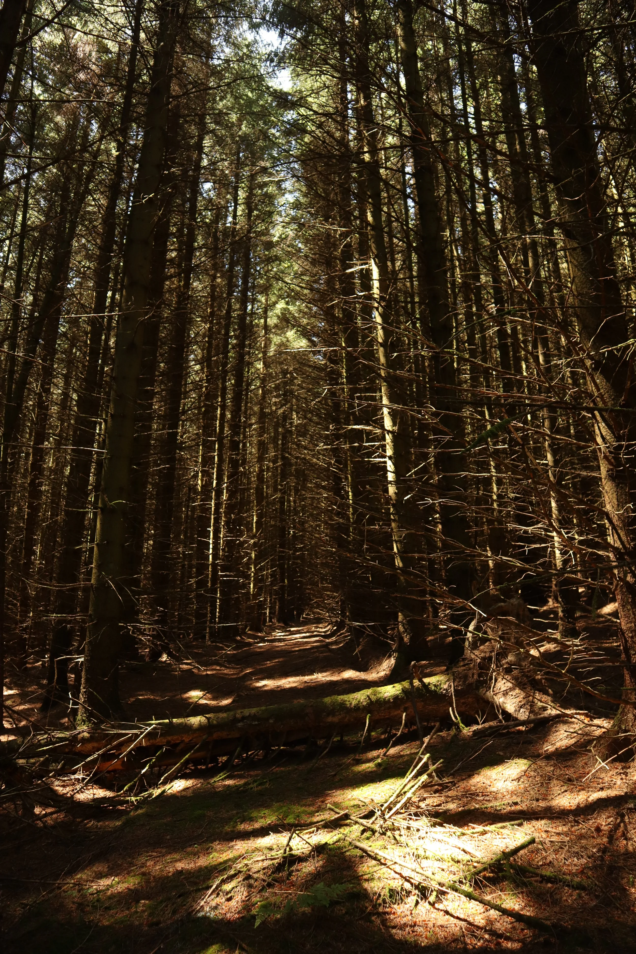
The Border Forrest looking almost majestic in the sunshine, unfortunately once they get to this size the trees are ready for harvesting.
The National Park is also home to the Kielder Reservoir, a huge manmade lake created to supply the industrial North East with water but with the decline of much of the area’s industry it’s mainly seen as a recreational resource; the final accolade for the park is that it’s an official “dark sky” area with lots of astronomy related activities promoted throughout the year, although given Northumberland’s rainfall I’ve always thought this was an optimistic bit of marketing.
The poor soils are related to the underlying rock, much of the border hills seems to be a similar sort of hard grey sandstone found along the high Pennines and it produces the same type of landscape, high rolling hills with acidic soils covered in rough moor and bog. This is at odds with red sandstone found in the Vale of Eden and again around Melrose, although these two deposits differ in age by about 150 million years they’re both relatively soft and weather to a rich red soil that supports what look like very productive arable and pastoral farms, very similar to the rich farmland of North Devon I walked through near the start of this trip.
By and large the walking was a pleasure, the hills here are more rolling than steep I was able to stride out across the open countryside enjoying the physicality of just walking in beautiful surroundings; the miles ticked by with surprising ease, no doubt I’m quite a bit fitter than when I started but good weather helps enormously, warm and sunny with a breeze (actually a wind) to keep me cool.
It’s a pleasure to walk over the rolling Cheviot hills. The grassy rectangle outlined by a low ditch in the middle distance is Chew Green roman fort, on Dere Street, high in the Cheviots.
In other blogs I’ve mentioned the limited number of plants and animals that make these desolate moorlands their home, mostly its sheep and a limited number of birds but occasionally the moors spring a surprise. One of the highlights of this whole trip was seeing an Emperor Moth in the grass close to where the picture of Chew Green (above) was taken.
Emperor Moth in the Cheviots, a highlight of the trip, I’ve never seen one before and don’t expect to see one again.
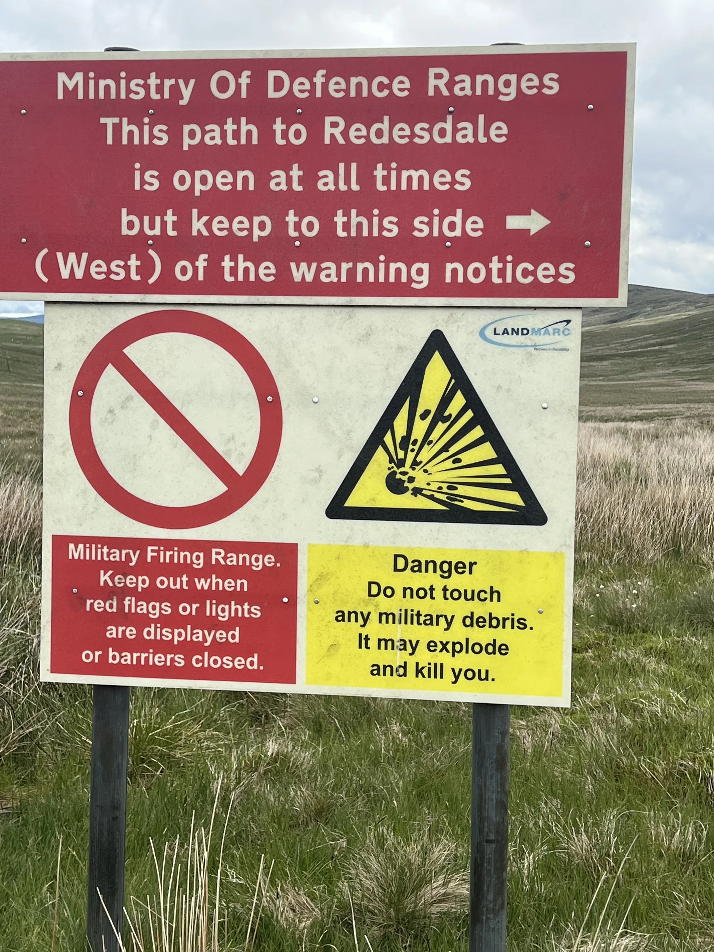
While they are a delight to walk across there are some down sides, the weather can be grim and your navigation needs to be pretty good, not only can the hills be wild when the weather turns bad, the arm has had a huge set of ranges and training grounds at Otterburn for decades, while they do make every effort to clear the ground treading carefully is recommended.
MOD sign on the Cheviots, a nice place to walk but be careful of exciting looking souvenirs.
Over the course of this walk I’ve visited hundreds, possibly thousands of places, some big, some small, the names reflect the places history, anything with ‘chester’ in it’s name probably has roman roots, while ‘thwaite’ or ‘keld’ probably has Scandinavian roots. Some places have a geographic element like East Linton or Upper Wilton; then there are the boringly descriptive one like ‘Black Hill’ or ‘Windy Knowle’ but what is the story behind the gloriously named Shitlington Hall nestling below Shitlington Crags in the County of Northumberland?
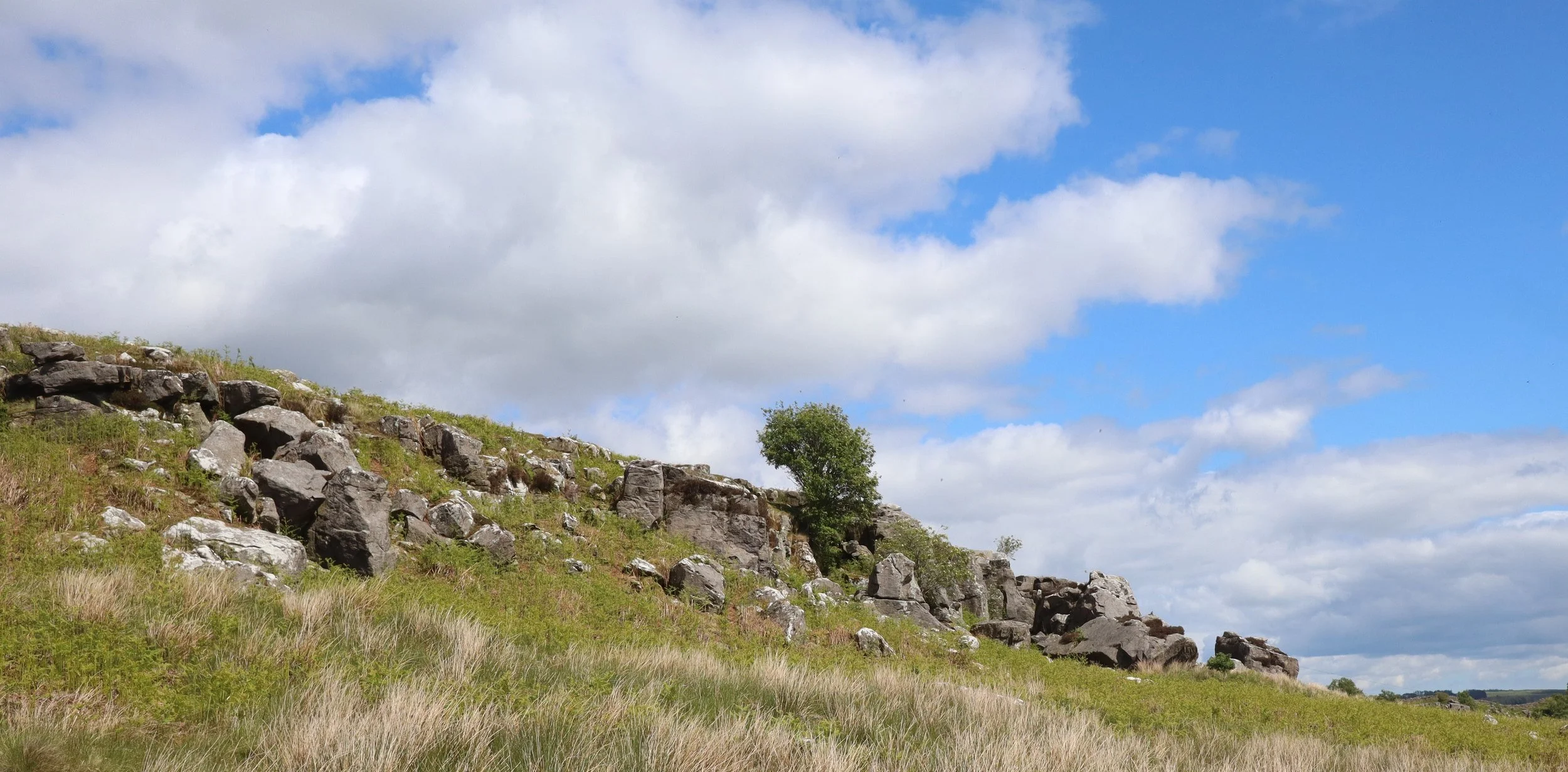
Shitlington Crag in Northumberland
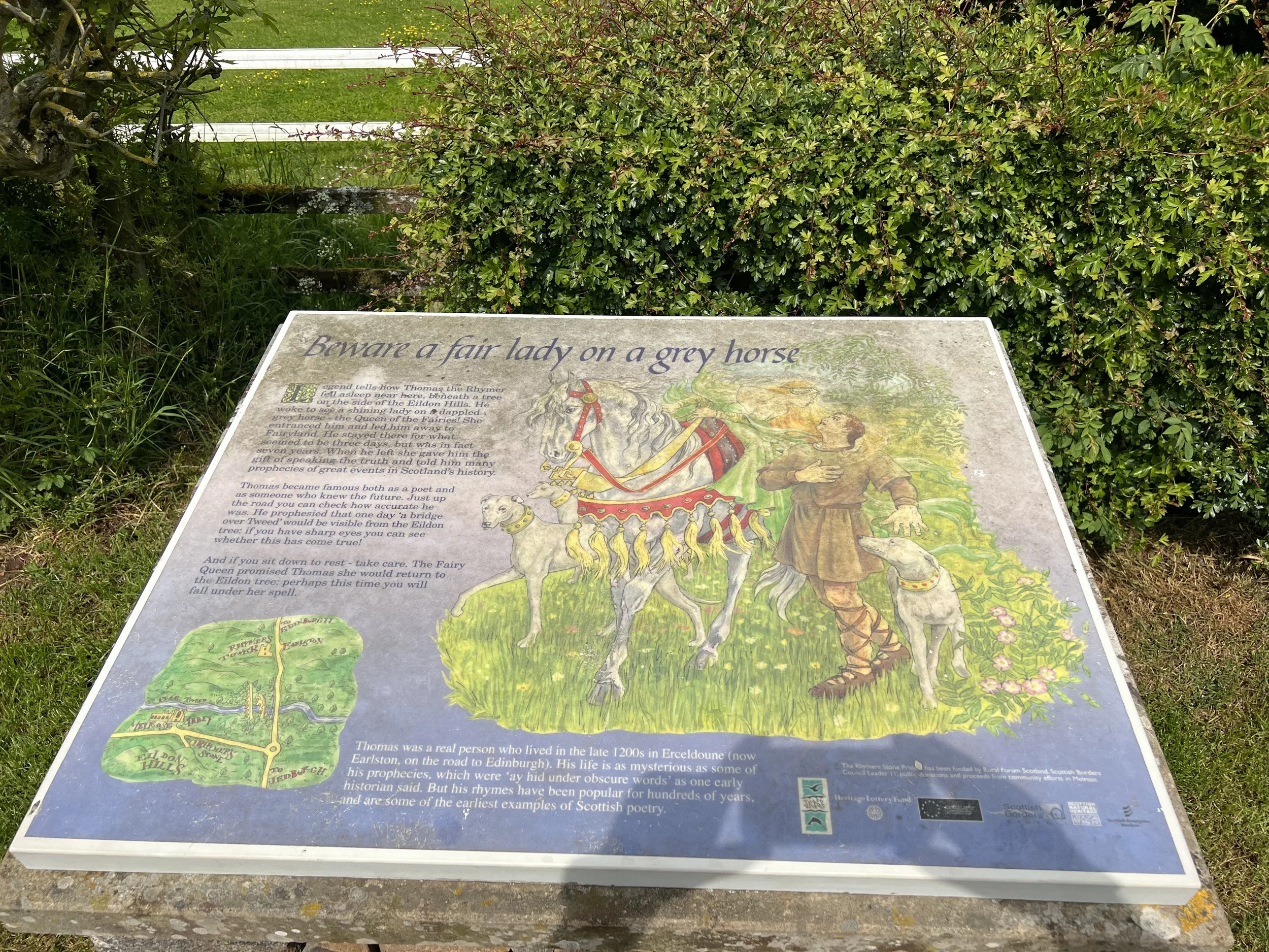
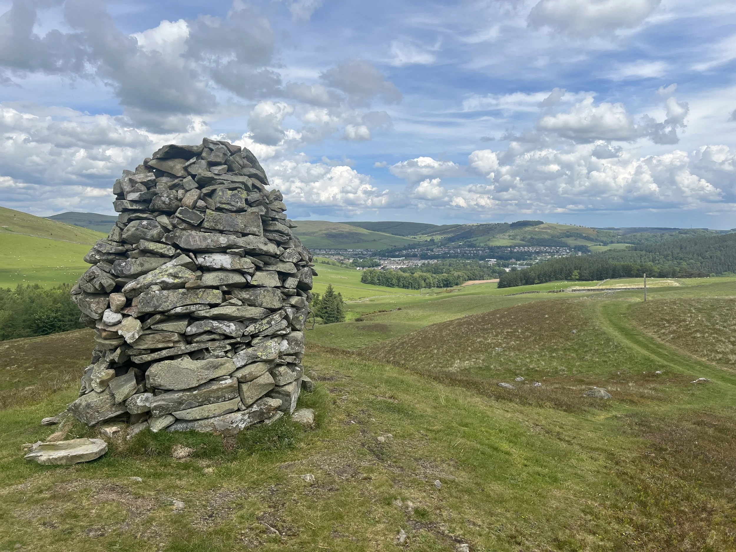
When one’s mind starts to ponder impenetrable questions like this it’s probably an indication that I should get out less and take up a more sedentary hobby and it's been a week of long days and for me, high milage. The 800 mile point came and went but the most satisfying achievement (apart from visiting Shitlington) was chalking up more than a hundred miles in a single week. Another landmark was literally that, coming down to Melrose I passed a small cairn with an information board on top, I’d seen there was something called “Rhymer’s Stone” on the OS map and it turned out to be the place where ‘Thomas the Rhymer’ met the Queen of Fairies. Sir Walter Scott wrote a poem about the incident but my favourite version is by Steeleye Span.
Information board on top of The Rhymer Stone.
In addition to a relatively impressive milage, a song from my folkie heritage I’ve also chalked up a number of new paths this week, including the Sandstone Way, the Southern Uplands Way, the Tweed Valley railway path, the Melrose Link and the Cross Border Drove Road, but my favourite was Dere Street. This is the modern name for the roman road that ran from what is now York up the what is now Edinburgh, hands up who thought the Romans finished at Hadrian’s Wall? I joined Dere Street close to the roman camp at Chew Green, on top of the Cheviots, and followed in in an almost perfectly straight line for nearly two days past Jedburgh and on to Melrose where I left it to stride happily over the Southern Uplands to Traquair.
The Southern Uplands
The advantage of following an old roman road is its directness, the disadvantage of following a roman road is its directness; if the romans wanted to get from A to B they built a road from A to B, completely ignoring anything in the way. The result is a path that completely ignores geographic details like steep hills or deep valleys, progress is swift and direct, which is what the legions wanted but at times it’s annoyingly steep.
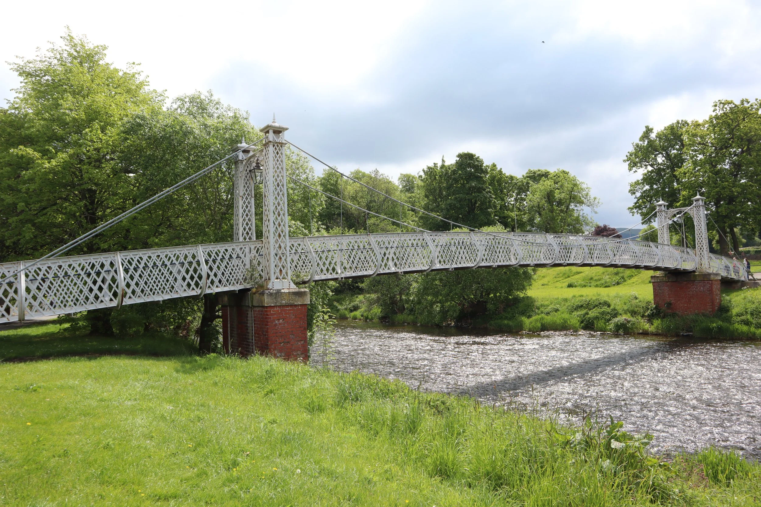
There was an abrupt and welcome change after Traquair, it was down off the high hills and moors and from Traquair to Peebles I was walking along the beautiful River Tweed where we met Carne Burke who was visiting from Edinburgh.
Victorian iron foot bridge over the River Tweed at Peebles.
Here are the week and trip totals.
Week’s Total :- 103 Miles 1293 Feet of Ascent, 224949 Paces, 42 Hours of Walking.
Walk Total to date:- 874 Miles 95738 Feet of Ascent, 1960780 Paces, 396 Hours of Walking.
Land’s End to John O’Groats walk approximately 73 % completed.

